


Strong winds likely in Delhi & adjoining areas: Lightning accompanied by gusty winds is forecast on Tuesday over Delhi, East Rajasthan, Punjab, Haryana and Chandigarh.
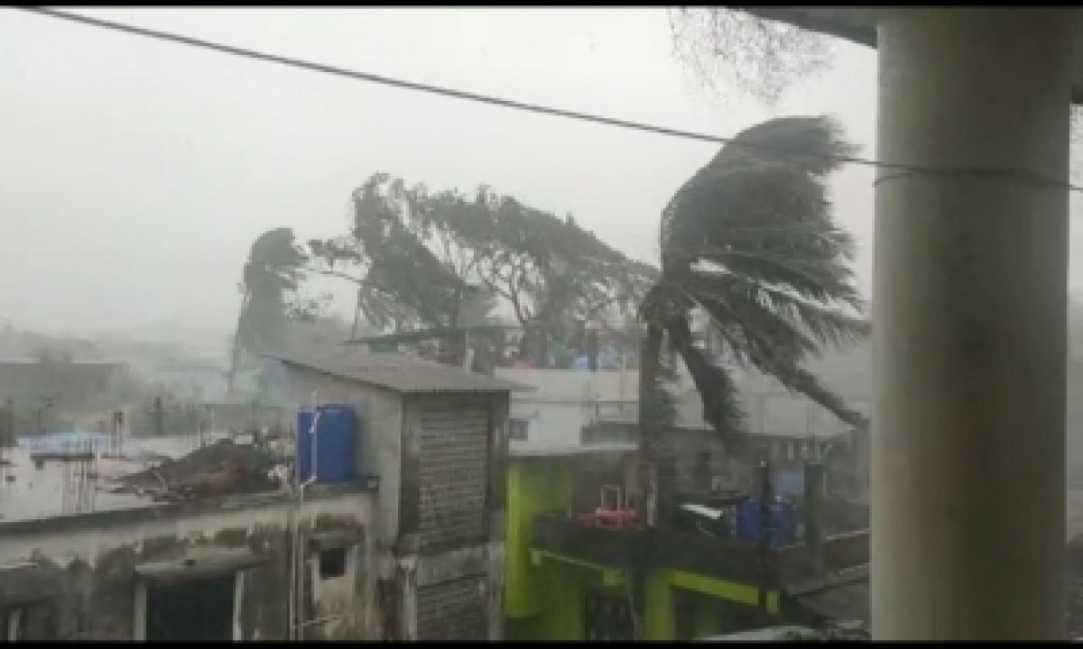
Wile in these five places it will be at 40 to 50 kmph, speed with slightly lower intensity between 30 and 40 kmph is also expected at isolated places over Uttarakhand, Uttar Pradesh, Bihar, Madhya Maharashtra, Marathwada, Coastal Andhra Pradesh and Yanam, North Interior Karnataka, Kerala and Mahe.
Jammu, Kashmir, Ladakh, Gilgit-Baltistan, Muzaffarabad, Himachal Pradesh, West Madhya Pradesh, Chhattisgarh, West Bengal, Sikkim, Odisha, Arunachal Pradesh, Assam, Meghalaya, Nagaland, Manipur, Mizoram, Tripura, Konkan, Goa, Telangana, Rayalaseema, Coastal and South Interior Karnataka and Tamil Nadu, Puducherry and Karaikal will see lightning at isolated areas.
Delhi’s minimum temperature settled at 17.6 degrees Celsius while maximum temperature hovered around 35 degrees Celsius. It was forecast light rain, thundershowers accompanied with gusty winds with speed of 30-40 kmph.
As per the Indian Meteorological Department’s (IMD) latest forecast, thunderstorm with lightning, hail and gusty winds with speed reaching 40-50 kmph is also very likely at isolated places over Vidarbha in Maharashtra.
The IMD also indicated that the “southwesterly winds have strengthened, resulting in likely enhancement in rainfall activity over Kerala”. “Hence the monsoon onset over Kerala is likely to take place around June 3, 2021.”
“Due to strengthening of lower-level southwesterly winds, fairly widespread to widespread rainfall activity likely over Northeastern states during next five days. Isolated heavy to very rainfall very likely over Assam and Meghalaya during next two days and heavy rainfall over Nagaland, Manipur, Mizoram and Tripura during next two days.”
The Western Disturbance as a trough in mid and upper tropospheric westerlies with its axis at 5.8 km above mean sea level roughly along longitude 76 degree east to the north of latitude 28-degree north is also behind the changes, said the IMD.
“Lower-level moisture incursion from north Arabian Sea to the plains of Northwest India taking place and is very likely to continue during next 2-3 days. Under its influence, no significant change in maximum temperatures very likely during next two days,” the IMD said.
Also, the weather department said, isolated to scattered rainfall and thunderstorm activity likely over Western Himalayan Region and adjoining plains of Northwest India during next two days.
There is also prediction about the cyclonic circulation over east central Arabian Sea off Karnataka coast between 3.1 and 4.5 km above mean sea level. “It is likely to meander over the region during next three days.”
The IMD further said that southwesterly winds are also likely to strengthen during next two-three days and under the influence of these and other favourable meteorological conditions, scattered to fairly widespread rainfall and thunderstorm likely over Karnataka, Kerala and Mahe.
“Isolated to scattered rainfall thunderstorm is also expected over remaining parts of south Peninsular India during next 4-5 days.”

